We tend to imagine borders as clean lines on a map — one country stops, the next one starts, and that’s that. Reality is a good deal messier. Some borders wander through living rooms, split a single island across an entire day, or leave a scrap of one nation stranded deep inside another.
Most of these oddities weren’t planned. They’re leftovers — of medieval land deals, half-finished treaties, and rivers that refused to stay put. Here are eight of the strangest borders on Earth, and every one of them is real.
The Town Cut Into 30 Pieces
Baarle-Hertog & Baarle-NassauOn the border of Belgium and the Netherlands sits a town that can’t decide which country it’s in — so it’s both. The Belgian municipality of Baarle-Hertog is a scatter of more than 20 enclaves inside Dutch territory, and some of those Dutch patches then have their own tiny Dutch enclaves inside the Belgian ones.
The line runs straight through houses, cafes, and front doors. It’s marked in the pavement with crosses and little flags, and where the border cuts a doorway in half, your address — and which country’s rules you follow — can depend on which side of the door the front step lands. The tangle dates back to medieval deals between local lords, and nobody ever bothered to tidy it up.
The Library Where You Change Countries
The Haskell, Vermont & QuebecThe Haskell Free Library and Opera House was built on purpose right across the United States–Canada line, in Derby Line, Vermont and Stanstead, Quebec. A thick black line painted on the floor tells you exactly where you cross from one country into the other, sometimes mid-bookshelf.
For years the library was a rare place where friends and families separated by the border could meet freely on neutral ground. The front door and the book collection sit in the U.S.; a good chunk of the reading room and the opera stage sit in Canada. It’s the only library and opera house that officially belongs to two countries at once.
The U.S. Town You Can’t Drive To
Point Roberts, WashingtonPoint Roberts is a small piece of Washington State dangling off the bottom of a Canadian peninsula. When surveyors drew the border along the 49th parallel, they sliced straight across the tip of the peninsula — leaving this little nub south of the line and therefore American, even though it’s attached to Canada by land.
To reach the rest of their own country by car, residents have to cross into Canada, drive through British Columbia, and cross back into the U.S. — two international borders for a domestic trip. Kids there have been known to cross the border twice a day just to get to and from school.
A German Town Ringed by Switzerland
Büsingen am HochrheinBüsingen is legally part of Germany, but it’s completely surrounded by Swiss territory, cut off from the rest of Germany by a sliver of Switzerland. It ended up this way after a 17th-century dispute left the village tied to distant Austrian, then German, rule while the land around it went Swiss.
The result is a place that runs on a blend of two countries. It uses the Swiss franc as much as the euro, sits inside the Swiss customs zone, and its post can carry either German or Swiss postal codes. The local football club plays in the Swiss league — one of the few German teams that does.
Most of these borders weren’t designed. They’re leftovers — of old land deals, half-finished treaties, and rivers that wouldn’t hold still.
The Enclaves Inside Enclaves
India & BangladeshUntil 2015, the border between India and Bangladesh held one of the most bewildering knots of territory anywhere: over a hundred Indian enclaves scattered inside Bangladesh, and Bangladeshi enclaves inside India. In one spot there was a piece of India, inside a piece of Bangladesh, inside a piece of India, inside Bangladesh — the world’s only third-order enclave.
Legend traces the mess to long-ago chess games and treaties between local rulers. For the tens of thousands of people living there, it meant being stranded without easy access to schools, hospitals, or even legal identity. In 2015 the two countries finally swapped the enclaves and let residents choose their citizenship — untangling the knot at last.
Where Four States Meet at a Point
The Four Corners, USAThe Four Corners is the only place in the United States where four states meet at a single point: Arizona, Colorado, New Mexico, and Utah. Stand on the marker and you can put a hand or foot in all four at once — a photo just about everyone takes.
The lines were drawn using straight surveyed boundaries following lines of latitude and longitude, which is why they meet so neatly. The monument, on Navajo Nation land, has been resurveyed over the years, and while old debates pop up about whether it sits in the “wrong” spot, it is legally the official corner — precisely where the four states agree it is.
A Spanish Town Marooned in France
LlíviaLlívia is a small Spanish town sitting entirely inside France, about a mile from the Spanish border in the Pyrenees. It became an island of Spain thanks to a 17th-century treaty that handed a batch of villages to France — but Llívia was technically a town, not a village, so it was left out of the deal and stayed Spanish.
A neutral road, long free of border checks, connects Llívia to Spain across French soil. The town has hung onto its Spanish identity for centuries, all while being surrounded on every side by France.
The Islands a Day Apart
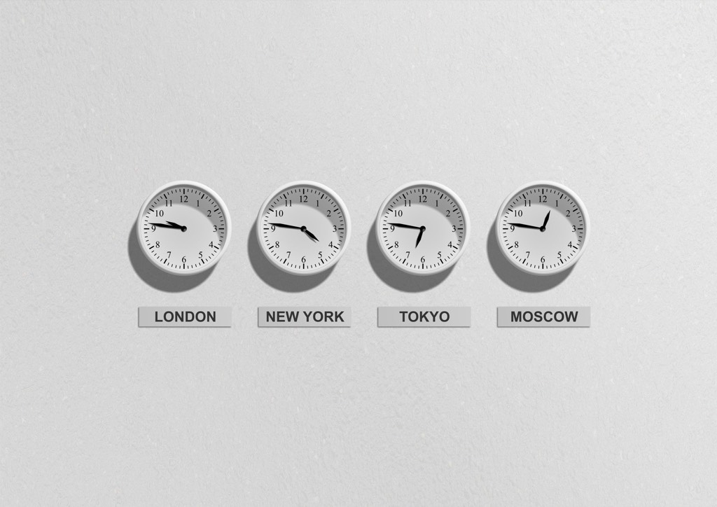
The Diomede IslandsIn the middle of the Bering Strait sit two small islands just over two miles apart. Big Diomede belongs to Russia; Little Diomede belongs to the United States. The International Date Line runs between them, so they’re nicknamed “Tomorrow Island” and “Yesterday Isle.”
Look across from one to the other and you’re looking roughly a day into the future — or the past. When it’s Sunday afternoon on the American island, it’s already Monday afternoon on the Russian one. In winter the sea between them can freeze solid, meaning you could, in theory, walk from today into tomorrow.
Borders feel permanent, like they’ve always been exactly where they are. But most of them are the frozen record of some old argument, accident, or compromise nobody ever got around to fixing. A country entirely inside another — like Vatican City within Rome, or the mountain kingdom of Lesotho ringed by South Africa — is only the tidiest version of a much stranger truth: the map is a lot more improvised than it looks.
Sources
How much do you remember?
3 quick questions from the story above.
Enjoyed that? Play a full trivia quiz:
Play a Geography quiz